Housing societies · Pakistan · one drone clip
Every plot, and whose it is.
A housing society rebuilt in 3D from a 20-second drone clip. Every building is found and read for how far it has got, and the society's register is laid on top: who owns each plot, what they have paid, whether they have possession, and whether the records match the ground. Click any plot for its passport.
Sample dataOwners, files and payments here are invented for the demo, standing in for a society's own records. Plot positions, build stages and the AI's reading are measured from the footage.
The society at a glance
What the map adds up to
Green figures are measured from the flight. Amber ones come from the sample register.
Records against the ground
What does not add up
Each check compares what the register says about a plot with what the drone saw on it. A few sample records were set to disagree on purpose, so there is something to find; in a real project the society's own records go here.
| Plot | Ground | Register (sample) | Check |
|---|
Underground works
Record it before it is covered
A second clip from Pakistan: a basement slab being poured, steel and footings open to the sky. A flight like this, filed against the plot, is the record a repair crew needs years later.
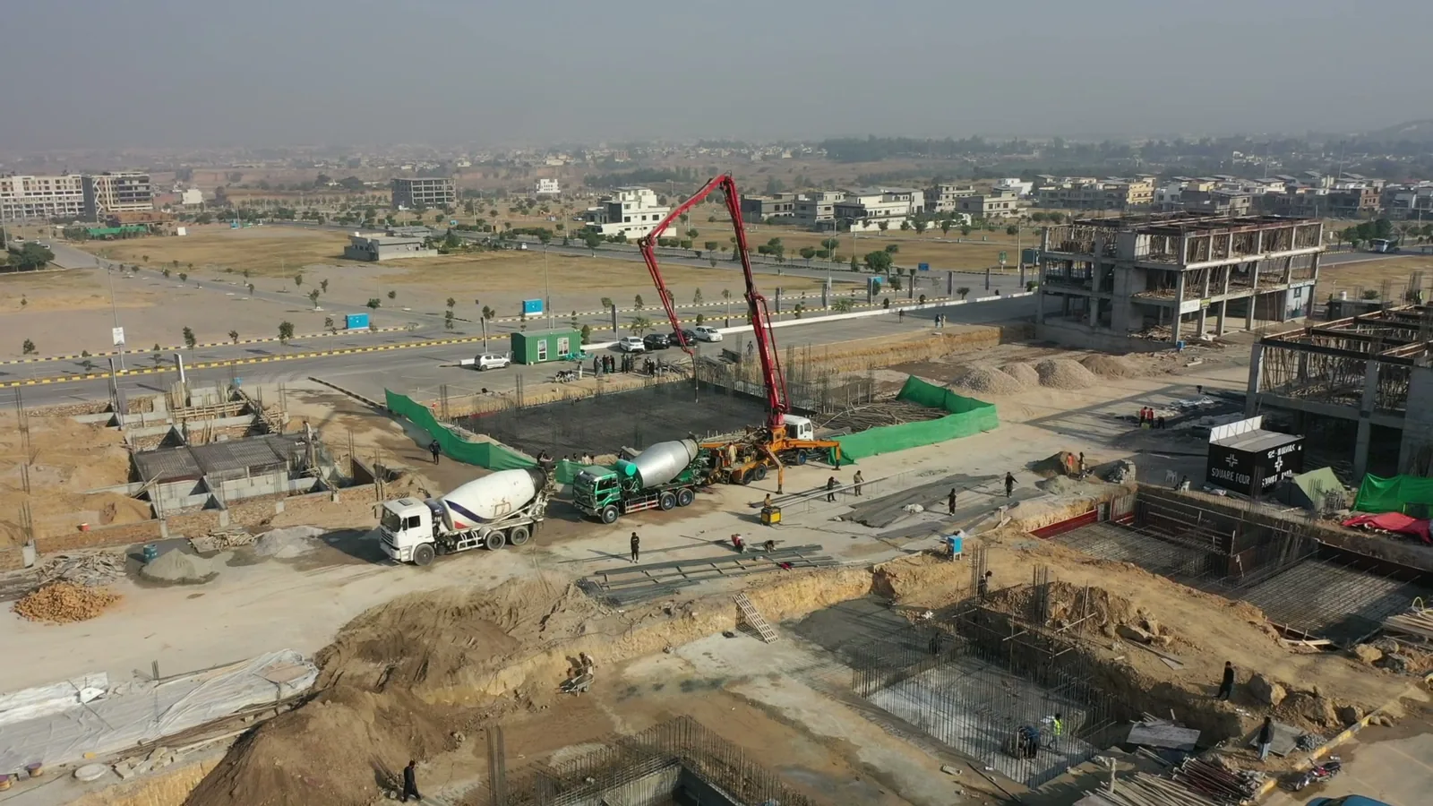
We cannot see through soil, and nobody honestly can. What a flight can do is keep the works while they are open: where the steel, footings and service runs went, in their true places. Stock footage (Pexels).
What is measured
From one clip to a plot map
Limits
Simam can do this for your society.
Your flight, your layout plan and your register: every plot in 3D with its owner, payments and possession, the plan checked against the ground, and a private passport for every plot owner, in Pakistan, the Gulf or anywhere else.