Giza from one drone clip, raised in the order it was built.
A 65-second drone flight over the Giza plateau, rebuilt as a 3D scene you can fly around. Press a year and each pyramid rises to the height it had reached: Khufu first, then Khafre, then Menkaure. Beside it, Gemini pictures the same view in that year, from the same camera, so you can drag between then and the 3D rebuild.
Three reigns
What rises when
Dates are the usual Egyptological estimates and differ by a few decades between sources. Heights in the model are measured from its own points, with the scale set by Khafre.
| Pyramid | Built | Height when built | Height today | In our 3D model |
|---|
Two more sites
The Sphinx, and a rock nobody built
Real frames from two short clips, beside Gemini's pictures of the same view. Drag the line.
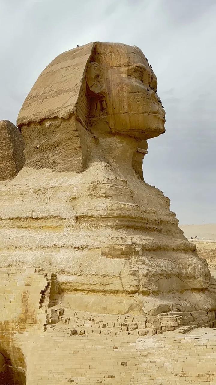
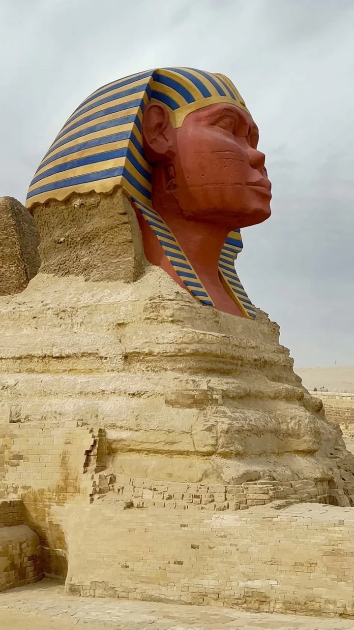 c. 2500 BC · GeminiToday · photo
The Great Sphinx
Carved from the bedrock of the plateau, most likely under Khafre. Traces of red and yellow paint survive, and the nose was lost centuries ago. The pictures leave off the stone beard, which was probably added much later.
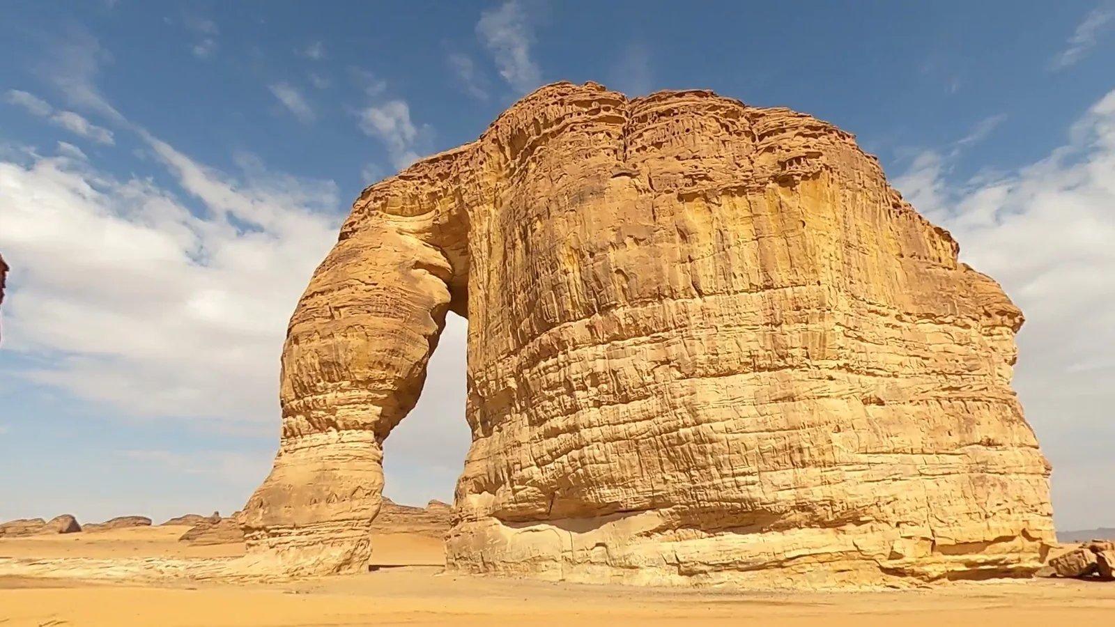
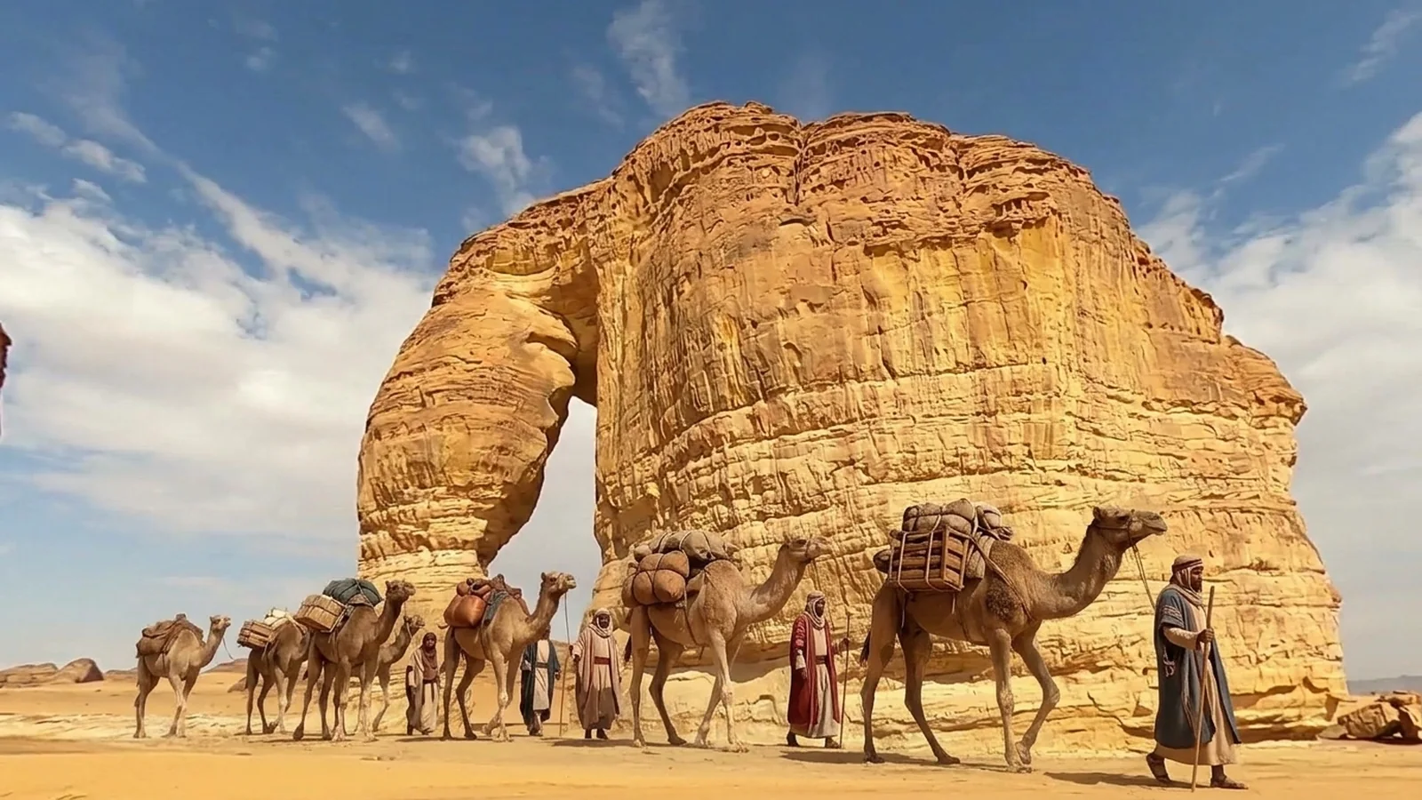 1st century AD · GeminiToday · photo
Jabal AlFil (Elephant Rock), AlUla
No one built this one. It is sandstone shaped by wind and water. What changed is who passed by: AlUla sat on the incense route, and the Nabataeans ruled nearby Hegra in the 1st century AD. The rock is left exactly as it is; only the caravan and the missing car are imagined.
How we built it
From a stock drone clip to a timeline
Limits
- Gemini's pictures are illustrations, not reconstructions. Casing, temples and causeways follow the historical record, but the layout of every building is the model's guess. How the blocks were raised, including the shape of any ramps, is still debated.
- The walking figures are imagined. Their routes follow the published layout of the plateau (the quarry, the workers' town, the causeways), placed from map coordinates to within about 20 m, but the numbers of people, the team sizes and the ramps are illustrations. Figures are drawn three times life size so they can be seen from the air, and time runs about 80 times faster than life.
- The rising pyramids are our 3D model of the pyramids as they stand today, cut at a height. They show how far each had got, not what the unfinished core looked like.
- The drone flew one side of the plateau, so the far faces and the city behind are soft or missing when you fly round.
- Khufu stands behind Khafre for most of the flight, so its top is poorly seen and we don't measure its height; the model uses its real height instead.
- The footage is free stock from Pexels, not our own capture. The same process works on a site's own drone flight.
Want your site in 3D, with its history beside it?
One flight or walk-through gives a 3D scene visitors can open on a phone. We can add the timeline, the before and after, and guided tours for exhibitions and websites.
See how capture works →