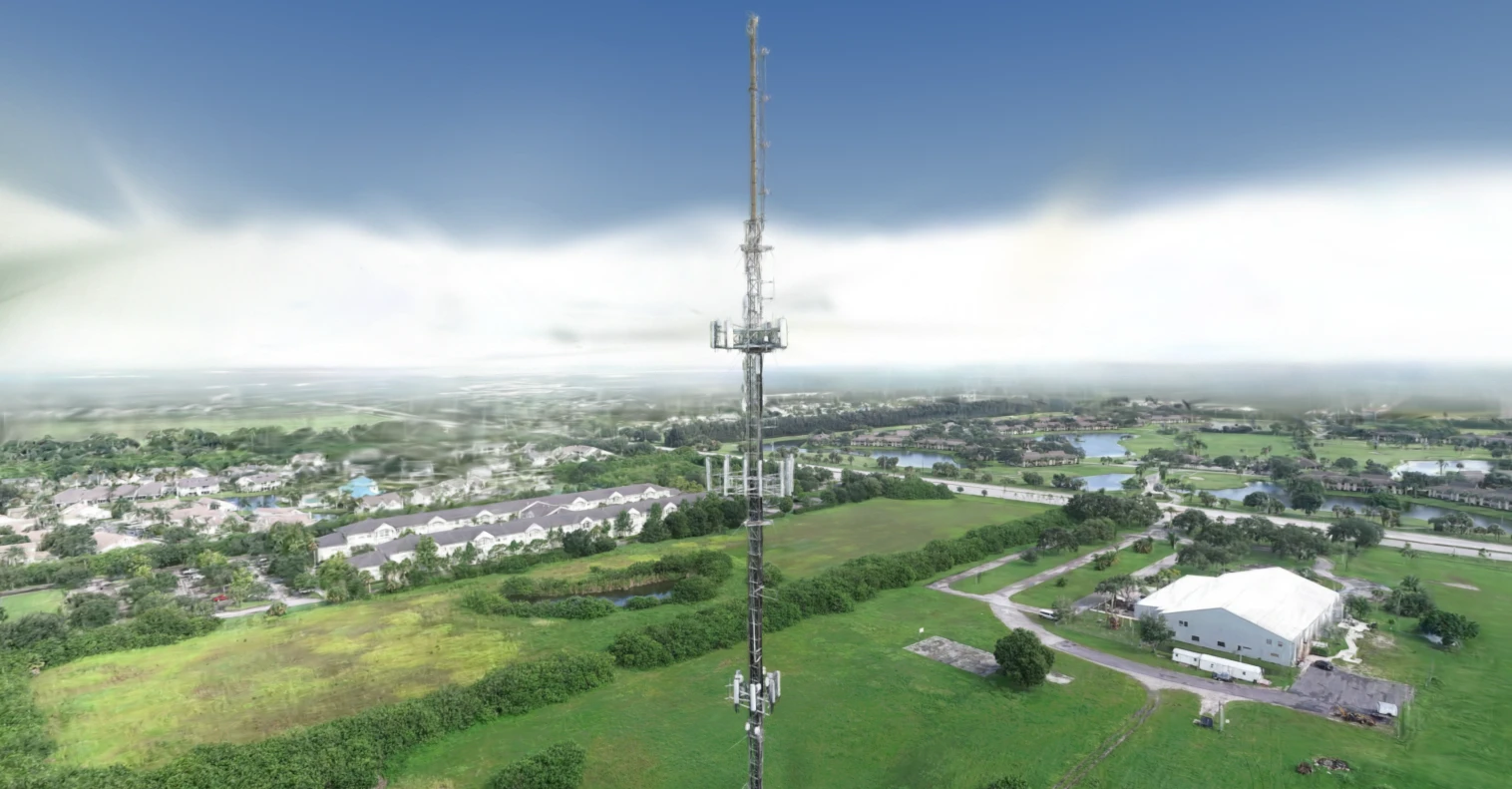
- 1 · The mast
- 2 · Top mounts
- 3 · Found
- 4 · Feeders
Everything about a mast is usually known by climbing it: what is mounted, at what height, facing which way. Tower owners let space to several carriers and the equipment changes whenever a tenant upgrades, so the drawings drift out of date, and checking them means a crew, a permit and a day. On a guyed mast, two routine drone orbits became a 3D mast an engineer can read from base to top in a browser: the height measured, the mount levels found with their heights, the antennas picked out on each level with a facing and the photograph behind them. Captured by Airweb's drone pilot network.
What we measured
| Measure | Result | Note |
|---|---|---|
| Mast height | 94.1 m | Measured, about 1% either way; scale from the drone's own positioning |
| Lean at the top | 0.14% of the height | A screening figure: it says whether to look harder, and settles nothing on its own |
| Mount levels | 5, between 29 and 75 m | Measured on the 3D; gaps between levels good to about 10 cm |
| Sectors | 3 | Measured |
| Drone photos placed | 459 of 459 | Two routine orbits; no ground markers, no road closure, nobody climbing |
| Antennas | Found and faced on every level | Found by software, then checked by a person against close photographs |
What went wrong
- The automatic pass found 18 antennas at one level where 11 were real, so nothing the software reads is used until a person has checked it against the photographs.
What happens next
- Repeat flights, so a change of equipment shows up as a change on the record.
Get the book today: learn Gaussian splatting and apply it to real projects.
People keep asking how we build what you see here. The book walks students, educators and practitioners from a drone clip to a measured 3D in the browser, with hands-on labs and the code.
Launch price until 3 December.
Teaching a course (Level 5, Level 6 and up)? Email junaid.malik@simamdigital.com about a class discount.