- 1 · Homes
- 2 · Directions
- 3 · Map view
- 4 · Golden hour
- 5 · AI ideas
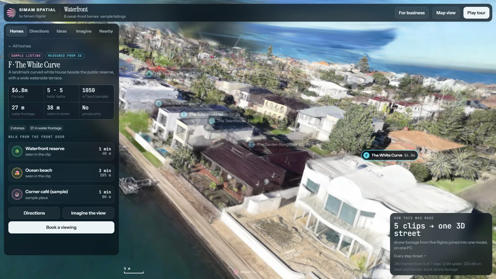
Six canal-front homes in 3D, each with a sample listing and its water frontage and lot depth measured from the model. Walking directions run on the real streets and paths, with a route line, turn-by-turn steps, walking and cycling times, and a map view. Imagine shows the street at golden hour, dusk and sunrise, each made by AI from a real frame of the footage. An AI adviser suggests improvements for each home and for the public spaces, three drawn as before and after. Nearby places pin what the drone saw, from the jetty to the beach. The first version came from one 17.6-second clip in 14 minutes 17 seconds, but one flight only sees the street from one side, so tilting broke it. Joining five flights of the same canal into one model fixed the low and side views.
What we measured
| Measure | Result | Note |
|---|---|---|
| First 3D, one clip | 14 min 17 s | From a 17.6 s clip, every step timed, on one PC |
| Flights joined | 5 of 7 | 280 of 413 frames placed in one model |
| Detail on held-out frames | 23.5 dB | Across all five flights, a harder test than one clip |
| White Curve house to the jetty | 160 m, 2 min walk | Route on the traced streets and paths |
| AI pictures | 6 for $0.58 | Three times of day and three before-and-afters |
What happens next
- Join the two flights of the next stretch as a second model.
- Our own flights of a real development, with real listings and a developer's plans.