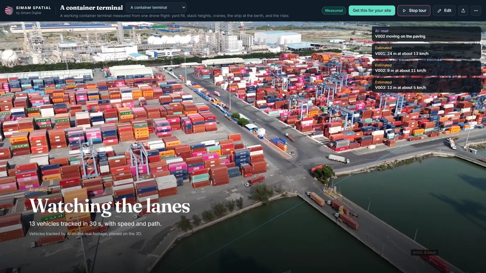
- 1 · The lanes
- 2 · The yard
- 3 · Every angle
A deep-water container terminal at Cai Mep in southern Vietnam, rebuilt in 3D from stock drone footage. Every frame has a solved camera position, so the software knows how the paving should move as the drone flies, and anything moving differently is a vehicle: 13 trucks tracked in 30 seconds, each placed on the ground in metres with its path and speed. AI counts the container stacks box by box on 338 views of the real frames, mostly four high, and with the yard area measured on the 3D that gives about 7,600 to 12,900 TEU in the main yard. An operations map puts the yard's heights, the truck paths and the drone's position on one plan. The clips that saw the yard from other sides would not join one 3D, so each became its own clean 3D, one tap away: the land side, straight above the yard, and the evening. The tour opens on the real footage with the trucks tracked live, then builds the 3D in front of you.
What we measured
| Measure | Result | Note |
|---|---|---|
| Footage | 258 frames | Four stock drone clips in the main 3D; three more viewpoints built on their own |
| 3D rebuild | 25.5 dB | Checked against every 8th frame, which the 3D was not built from |
| Trucks | 13 | Tracked in 30 s of footage; median speed 16 km/h, estimated |
| Stacks | 4 high | Typical, counted by AI on 338 views |
| Main yard | 7,600 to 12,900 TEU | Estimated from the AI count and the measured yard area |
| Time | 1 h 40 min | Footage in to the main 3D, on one desktop GPU |
What went wrong
- The first 3D only saw the yard from the berth side and looked one-sided. Joining the other clips into it failed every way tried, so each became its own 3D instead of a forced, ghosted merge.
- Stack heights read from the 3D were too noisy to count boxes, so AI counts them on the real frames instead.
- Water basins first showed up as moving vehicles. Only solid ground is now searched.
What happens next
- Repeat flights for moves per hour and dwell time.