- 1 · Landing
- 2 · Footage
- 3 · The stacks
- 4 · A lost arch
- 5 · Book a trip
- 6 · The bay
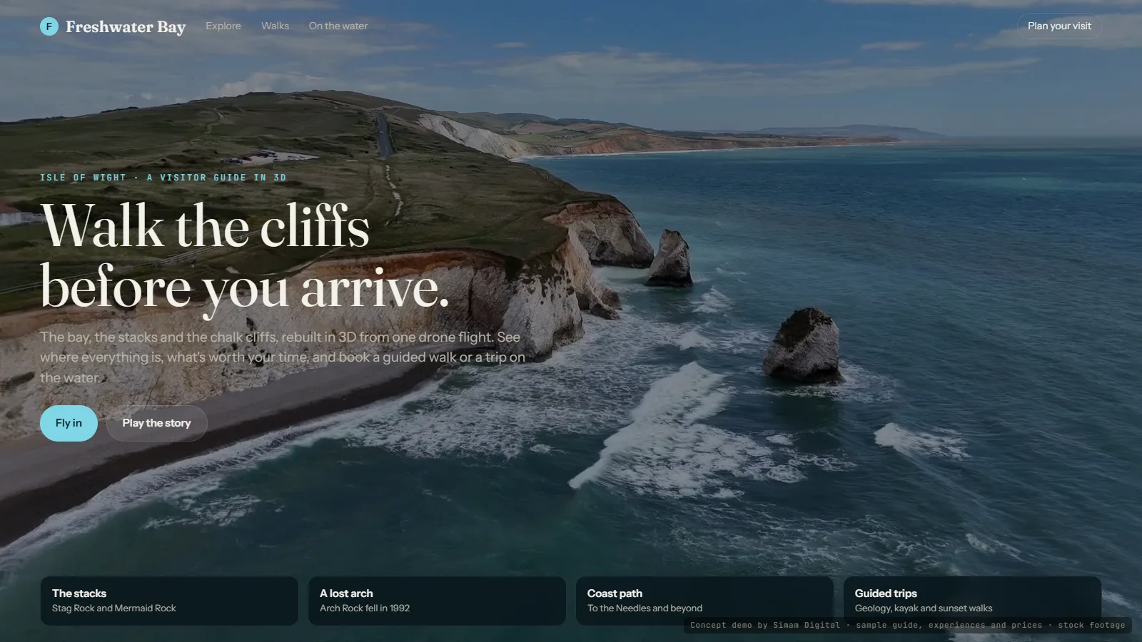
A coastal visitor guide in 3D. It opens on the real flight over Freshwater Bay, then turns into a 3D coast you can explore: the shingle bay, Stag Rock and Mermaid Rock, the platforms where Arch Rock stood until a storm took it in October 1992, the sea caves in the chalk and the coast path along the downs. Each place has a card pinned where it is, with a photo from the flight, its story and a calendar of when it is at its best and when to take care. Three sample trips sit on the cards, a geology walk, a sea-kayak trip and a sunset photo walk, so a visitor can plan the day in 3D and then book.
What we measured
| Measure | Result | Note |
|---|---|---|
| Footage | 37 s | One drone flight, by Paul Maunders on Pixabay |
| Coast in 3D | 27.3 dB | On frames held back from the build |
| Places with cards | 6 | The bay, two stacks, the lost arch, the sea caves, the coast path |
| Facts on the cards | Checked | Against published sources; disputed dates left vague |
What happens next
- A real attraction or tourism board's own footage, with its own trips and bookings.
- Tide times and weather on the same 3D, so visitors see when it's safe.
Next experiment
The commercial core of a housing society in 3D, and who has every floor →
Want this for your data?