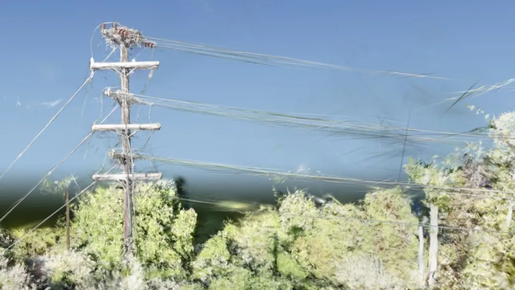
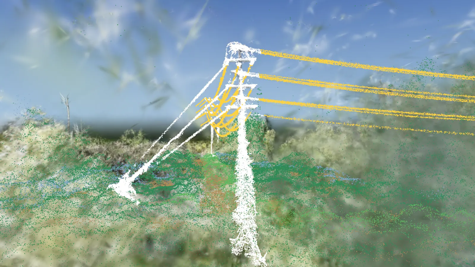
Measured 10 Nov 2026 from a scan of 18 Oct 2024, spans in order along the line
| Item | Lowest wire at mid-span | Closest vegetation to the wires |
|---|---|---|
| Span 1 | 9.63 m | 6.66 m |
| Span 2 | 9.37 m | 4.66 m |
| Span 3 | 6.55 m | 2.51 m |
| Span 4 | 5.84 m | 3.17 m |
| Span 5 | 7.65 m | 1.86 m |
| Span 6 | 6.46 m | 5.13 m |
| Span 7 | 7.63 m | 4.56 m |
Power line owners need heights, wire clearances and span lengths for thousands of poles. A survey crew per pole is slow and costly, and photos alone give no measurements. On a US power line, we turned one drone flight into a measurable 3D of a pole and its spans, placed on the map and checked point by point against the drone's own LiDAR. Each pole opens in a browser, where its heights, clearances and the places vegetation comes close to the wires can be read. Captured by Airweb's drone pilot network.
What we measured
| Measure | Result | Note |
|---|---|---|
| Pole height | 18.99 m, against 18.92 m from the LiDAR | |
| Six crossarm heights | All within 30 cm of the LiDAR | |
| Two spans measured | 52 m and 93 m | With the lowest wire clearance at mid-span |
| Placement on the map | About 1 m from the drone's positioning alone; centimetres after the LiDAR check | |
| Along the line | 8 poles, 6 placed in 3D and checked, typically within 10 to 25 cm of the LiDAR | The other 2 were reported as needing a re-flight rather than shown inaccurately |
| Closest vegetation to the wires | 1.9 m to 6.7 m, for every span | With the date of the scan, so the next flight shows regrowth |
| Lowest wire at mid-span | 5.8 m to 9.6 m, for every span |
What went wrong
- Two of the eight poles could not be placed to the same standard from the flights we had, so we reported them as needing a re-flight rather than showing them inaccurately.
What happens next
- The same steps, pole after pole, along the rest of the line.
- A repeat flight, so vegetation regrowth shows against this scan's dated clearances.

Get the book today: learn Gaussian splatting and apply it to real projects.
People keep asking how we build what you see here. The book walks students, educators and practitioners from a drone clip to a measured 3D in the browser, with hands-on labs and the code.
Launch price until 3 December.
Teaching a course (Level 5, Level 6 and up)? Email junaid.malik@simamdigital.com about a class discount.