- 1 · The town
- 2 · In 3D
- 3 · The pins
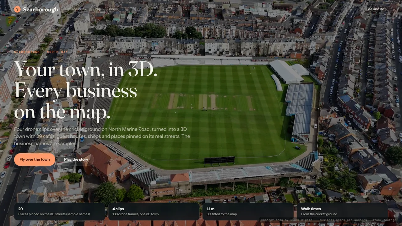
A local business map in 3D. Four drone clips over the cricket ground on North Marine Road in Scarborough's North Bay became one 3D town, lined up with the street map. Cafés and pubs, guest houses, shops, things to see and do, and services are pinned on the 3D streets, each with a crop of the drone footage that shows it and the walking time from the ground. A visitor can build a day out, and a local business can see what its own pin would look like.
What we measured
| Measure | Result | Note |
|---|---|---|
| Footage | 4 clips | Drone footage by David Pickup; 326 frames joined into one 3D town |
| Places pinned | 29 | Placed where the street map has a business; the names are samples |
| Lined up with the map | 1.1 m | Mean miss of the cricket pitch outline against OpenStreetMap, from six edge points |
| 3D | 2M splats | One 3D town from four flights; 27.5 dB on frames held back from training |
What went wrong
- The 3D had no idea where north was. Six points on the cricket pitch's edge, matched to the map's outline of the same pitch, placed the whole town; the streets then line up on their own.
What happens next
- A business adds its own photo, opening hours and offer to its pin.
- The rest of the North Bay and the South Bay.