01 · Problem
What needed solving
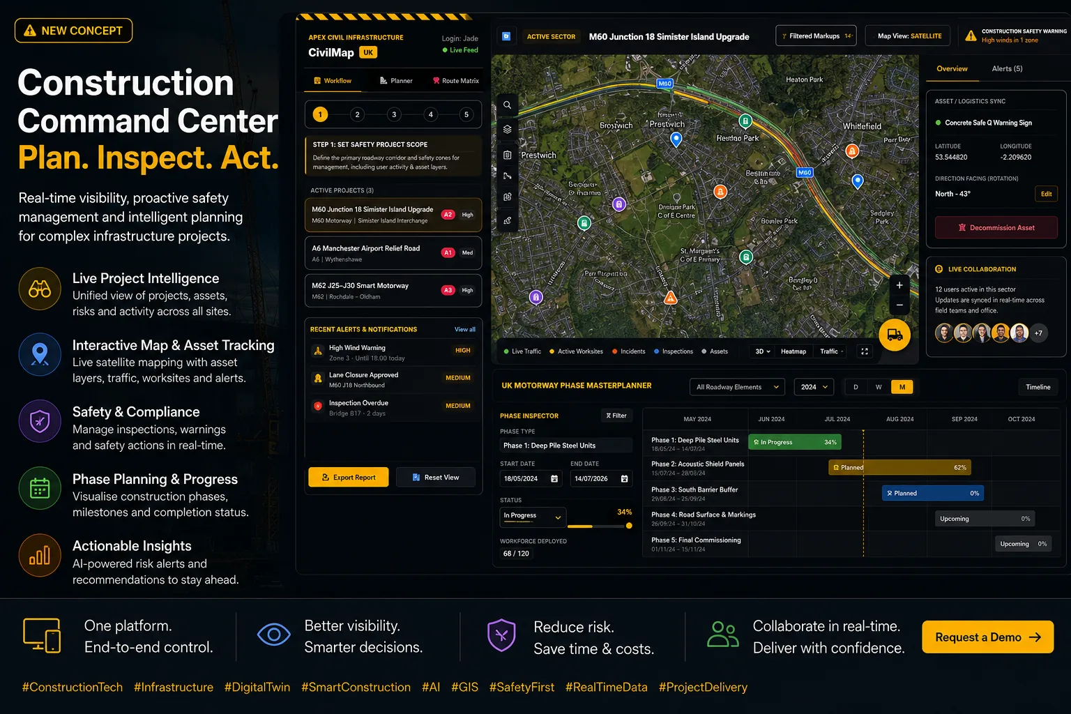
A civils programme director cannot see, at a glance, which phases are live, which crews are on which site, and which inspections are overdue.
02 · Approach
How we're building it
A geospatial command centre - every active site as a first-class object on a shared map, with phase, crew, inspection and safety state hanging off it.
03 · Timeline
Where it is
- Q1 2026Research kickoff · brief and success criteria
- Q2 2026Prototype build · first end-to-end walkthrough
- Q3 2026Field trial with partner organisation
- Q4 2026Public benchmark and open-source components
Related in Agentic Infrastructure
- R-025Connected Highways
AI planning and risk copilots for major highways programmes.
- R-036AI Infrastructure & Venue Management
A 3D live-map concept for emergency access, crowd movement, inspection routes and operational reporting.
- R-037Simam AI Hub
A browser-based strategy workspace for SMEs moving from AI interest to an investable plan.