What needed solving
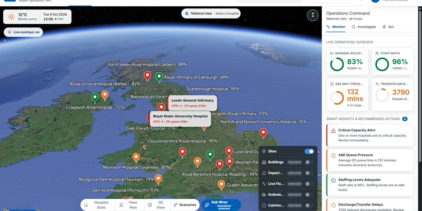
Health-service operations are usually read across separate maps, dashboards, bed-management views, spreadsheets and site-level tools. The research question is whether one spatial interface can carry a team from national pressure to a hospital, a floor, a room and the next operational decision without losing context.
How we're building it
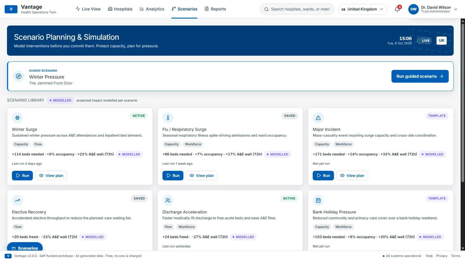
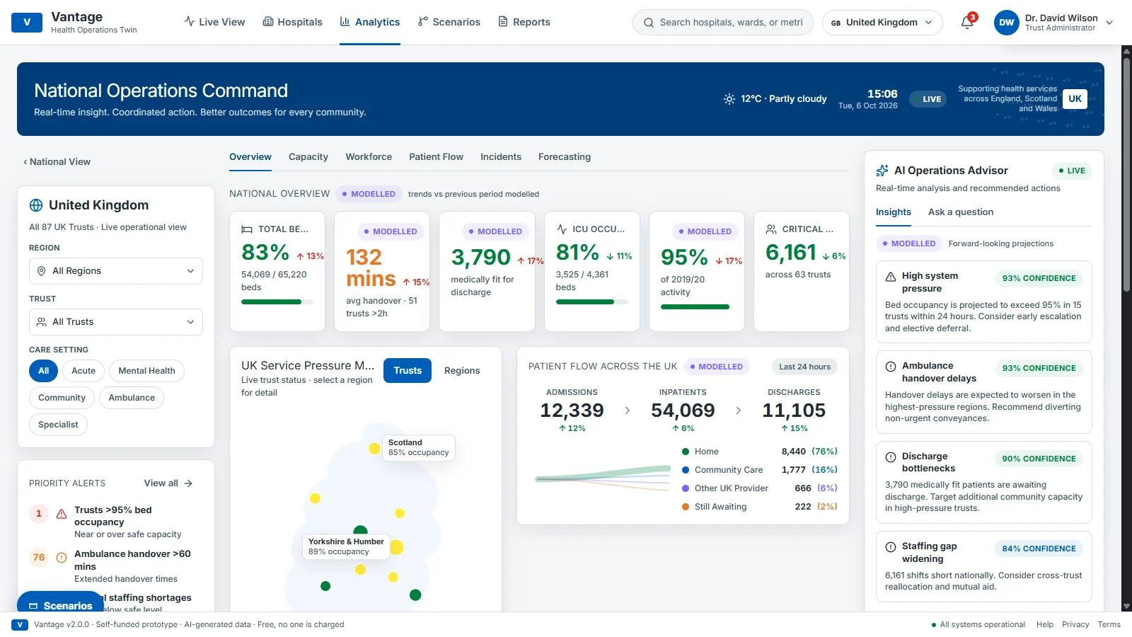
Vantage places simulated pressure across hospital sites on a national 3D map built on Google Photorealistic 3D Tiles. Any site drills down to procedurally generated floor plans with simulated staff, patient and equipment movement. National, management and operations command views sit alongside scenario planning, such as a winter-pressure surge, and PDF reports. A grounded AI assistant answers questions about what is on screen, and a UK/US region switch shows the same product adapting its terminology, currency and hospital set.
What we learned
A convincing operations twin needs more than an impressive map. It has to make its language, assumptions, simulation boundaries and evidence visible, with clear labels wherever the data is illustrative rather than live. The strongest pattern is one continuous surface from place to pressure to action.
What we are testing next
How should a hospital operations twin be evaluated with domain experts on decision time, explanation quality and safety review before any use of real data is considered?
Where it is
- Aug 2026First proof of concept: national 3D estate view, scenario planning and room-level simulation
- 6 Oct 2026Vantage beta (v2.1.0-beta.1) live as a self-funded concept prototype
- NextDefine an evidence-led evaluation plan with qualified operations and clinical-safety reviewers
Concept prototype only, not a live service. Completely self-funded by Simam Digital: no grant, contract, investment or payment received. Free; nobody is charged. Every figure is simulated and AI-generated; no real patient, clinical or operational data is used. Independent: not affiliated with or endorsed by any government, health service, health authority or hospital. Hospital names and locations are public information, used only to place the simulation on the map.