01 · Problem
What needed solving
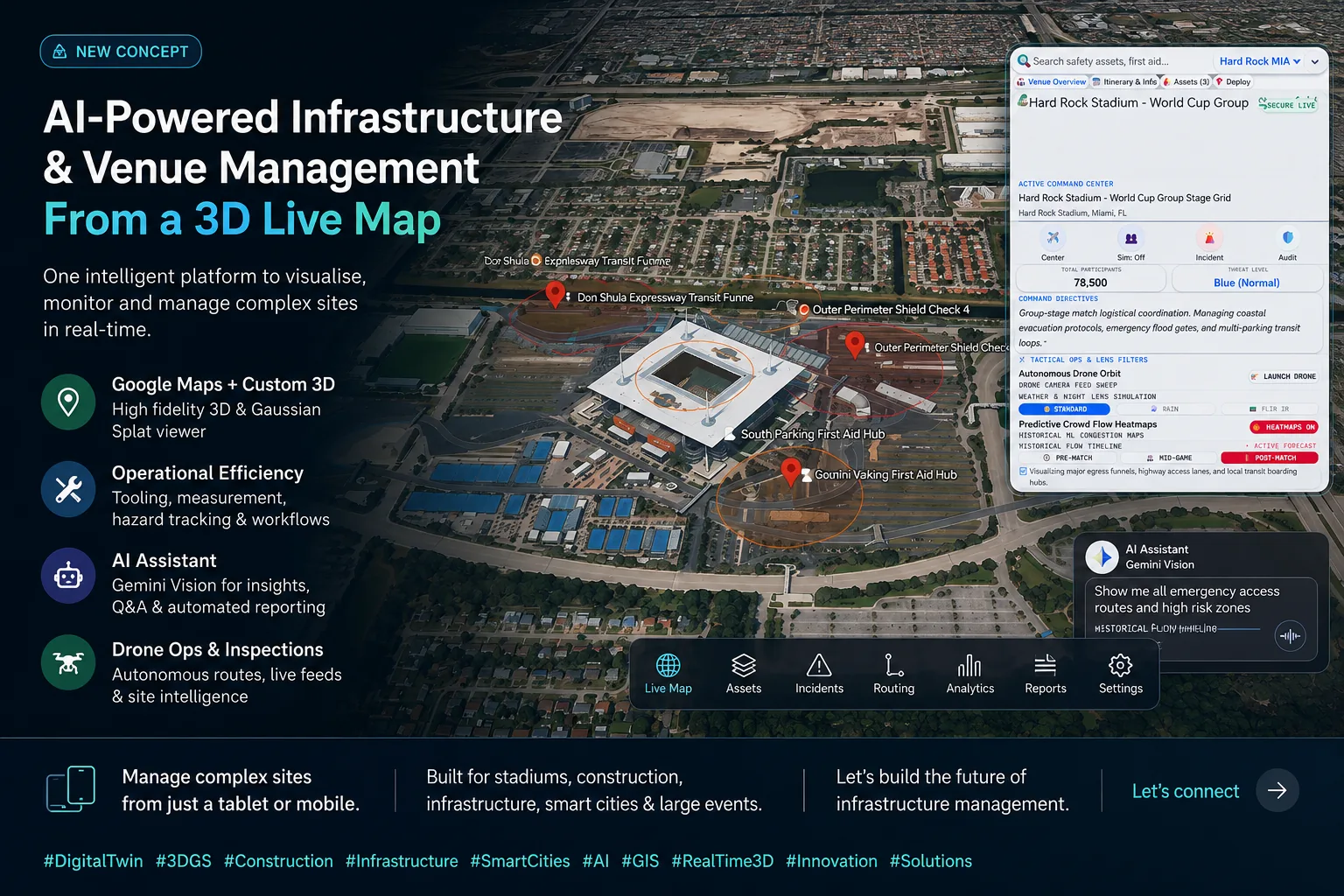
Complex venues and infrastructure sites need a shared operational picture across safety, routing, inspections and reporting. Most current tools split those decisions between maps, documents and radio calls.
02 · Approach
How we're building it
A command interface combines a 3D live-map view with asset layers, emergency routes, drone inspection controls and an AI assistant that can help find, explain and report operational conditions.
03 · Timeline
Where it is
- Jul 2026Concept interface captured for venue and infrastructure management
- Aug 2026Research framing added around command interfaces and agent-assisted operations
- NextDefine benchmark tasks for routing, incident review and automated reporting
Related in Agentic Infrastructure
- R-039Vantage: Health Operations Twin
A geospatial digital twin for hospital operations, from a national 3D map of hospital estates down to room-level floor plans, queried in natural language.
- R-046Simam Agent Harness
EDR for AI agents: a governance gateway between AI agents and the tools they call.
- R-025Connected Highways
AI planning and risk copilots for major highways programmes.